
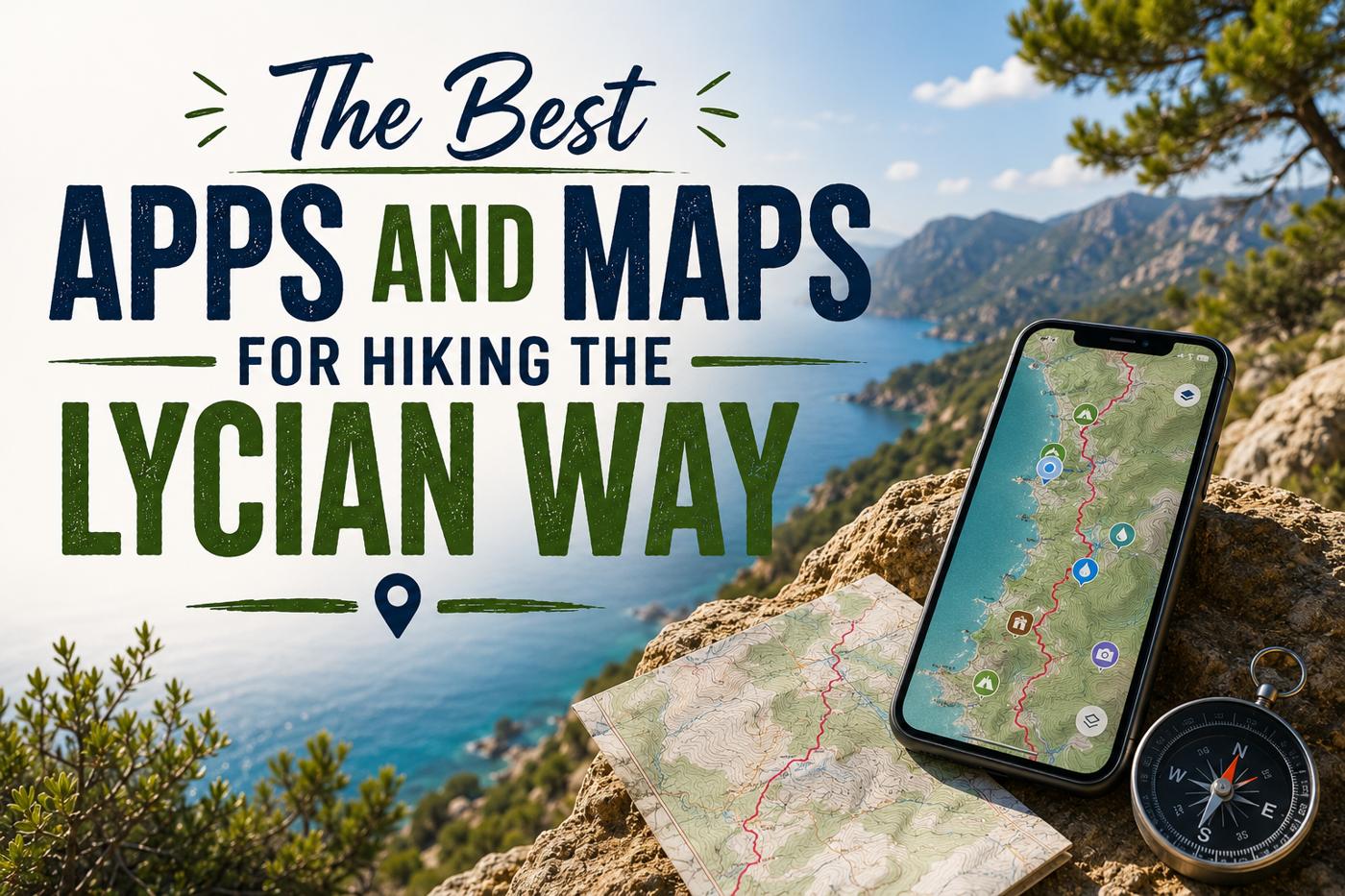
The Best Apps and Maps for Hiking the Lycian Way
Before you step onto the Lycian Way, there is one practical question worth getting right:
How are you going to navigate it?
The trail is marked with red and white painted waymarks on rocks, trees, and walls. On popular sections, these are frequent and clear. On more remote stretches, they can be harder to spot — and a wrong turn on a clifftop path above the Mediterranean is not a comfortable situation.
A good navigation app, downloaded and ready before you leave home, makes an enormous difference.
But not all apps are equally good for the Lycian Way. Some show outdated routes. Some lack offline capability. Some are excellent in general but miss the specific detail this trail requires.
Here is an honest guide to what actually works.
The Best Apps for the Lycian Way
OsmAnd — Best Overall for Navigation
OsmAnd is the app officially recommended by the Culture Routes Society for the Lycian Way.
It uses OpenStreetMap data — the same data that the Culture Routes Society keeps updated — which means it shows the current state of the trail rather than an outdated version.
Key features for Lycian Way hikers:
- Full offline use — download the maps before you go and navigate without any phone signal
- Shows the Lycian Way waymarked route clearly
- Displays useful trail information including water sources, campsites, and villages
- Available for both iPhone and Android
- Free to use with optional paid features
The interface takes a little getting used to — it is more functional than beautiful — but once you are comfortable with it, it is one of the most reliable navigation tools available for this trail.
Best for: Any hiker who wants reliable, up-to-date navigation. Especially recommended for self-guided hikers.
Gaia GPS — Best for Detailed Mapping
Gaia GPS is a favourite among experienced long-distance hikers worldwide, and it works well on the Lycian Way.
It uses OpenCycleMap as its base layer — which includes the Lycian Way route — and allows you to download detailed topographic maps for offline use.
Key features:
- Excellent topographic maps showing elevation clearly
- Reliable offline navigation
- GPX track import — you can load the official Culture Routes Society tracks directly into Gaia
- Clean, intuitive interface
- Available for iPhone and Android (subscription required for full features)
Gaia is particularly useful for hikers who want to understand the terrain ahead — the elevation profiles help you prepare for what is coming and pace yourself accordingly.
Best for: Experienced hikers who want detailed topographic information alongside route navigation.
HiiKER — Best for Beginners
HiiKER is a newer hiking app that has gained a strong following for its clean interface and ease of use.
The Lycian Way is well represented on HiiKER, with detailed maps and navigation assistance that work well even for hikers who are not experienced with GPS navigation apps.
Key features:
- Simple, intuitive interface — easy to use from day one
- Good offline capability
- Clear trail marking
- Available for iPhone and Android
HiiKER is a good choice for hikers who want something that works without a steep learning curve. It is not the most technically detailed option, but for straightforward navigation on the more popular sections of the trail it performs reliably.
Best for: First-time Lycian Way hikers or those who want simple, no-fuss navigation.
Locus Map — Best for Android Users
Locus Map is a powerful navigation app popular among European hikers and strongly recommended by the Culture Routes Society alongside OsmAnd.
It supports OSM data, offline maps, and GPX track import — and its Android version in particular is considered one of the best hiking navigation tools available.
Key features:
- Full offline navigation
- OSM-based mapping with current trail data
- GPX track import from the Culture Routes Society
- Detailed point-of-interest information
- Android primarily (iOS version has more limited features)
Best for: Android users who want a powerful, flexible navigation tool.
Maps.me — Best Free Offline Option
Maps.me is a free offline mapping app that covers Turkey in considerable detail — including many smaller trails and paths that do not appear on Google Maps.
It is not Lycian Way-specific, but for hikers who want a simple, free offline map as a backup it is a useful addition to the phone.
The Lycian Way route is visible on Maps.me, though it may not reflect the very latest trail changes. Use it as a supplementary tool rather than your primary navigation.
Best for: A free backup map. Not recommended as your only navigation tool.
Apps to Be Cautious About
The Culture Routes Society explicitly notes that the following apps do not currently show the latest state of the Lycian Way trail:
- AllTrails — popular globally but trail data is out of date for the Lycian Way
- TrailSmart — GPS data available but not regularly updated
- Outdoor Active — does not reflect current route
- Wikiloc — has many versions of the Lycian Way, most of them outdated
This does not mean these apps are bad in general — AllTrails in particular is excellent for many trails around the world. It simply means that for the Lycian Way specifically, where the route changes regularly, they are not the most reliable choice.
If you use one of these apps, cross-reference with OsmAnd or Gaia, or download the official GPX tracks from the Culture Routes Society.
Physical Maps and Guidebooks
Apps are essential. But a physical backup is wise — phone batteries die, screens crack, and signal can disappear on remote mountain sections.
The Official Lycian Way Guidebook
The definitive guidebook to the trail is written by Kate Clow, the British walker who first researched and waymarked the Lycian Way in the late 1990s.
The most recent English edition was released in December 2022 and is available from the Culture Routes Society website (trekkinginturkey.com). It includes detailed section descriptions, accommodation information, water sources, and historical context for each part of the trail.
If you are doing any serious section of the Lycian Way, this book is worth having.
Paper Maps
The Culture Routes Society produces three walking maps at approximately 1:70,000 scale, covering the full length of the trail. They show all local walks as well as the Lycian Way itself, and include useful practical information.
Paper maps are available from the Culture Routes Society office in Antalya and their field base in Sidyma. They can also be ordered online through their website.
Downloading GPX Tracks
For hikers who want to load the official route directly into their preferred app, the Culture Routes Society provides GPX and KML track files to people who have purchased the official guidebook.
This is the most reliable way to ensure you are following the current, maintained route rather than an older version.
Contact the Culture Routes Society directly through their website to request the latest tracks.
Practical Tips for Navigation on the Trail
Download everything before you go. Mobile data coverage on the Lycian Way is inconsistent — good in towns and on high ground with clear views, unreliable in valleys and forested sections. Download your offline maps and GPX tracks at home or in your hotel before you start walking each section.
Carry a power bank. GPS navigation drains phone batteries quickly. A power bank with at least 10,000mAh capacity will keep you covered through a full day of navigation.
Trust the waymarks. The red and white painted markers are your primary navigation tool on the ground. When your app and the waymarks disagree, the waymarks are usually right — the trail on the ground is often more current than any app’s data.
Tell someone your route. On remote sections, let your guesthouse or a contact at home know which section you are walking and when you expect to arrive. Mobile signal cannot be relied upon for emergency contact.
If in doubt, ask. Villagers along the trail are generally happy to point hikers in the right direction. A few words of Turkish go a long way — “Likya Yolu?” (the Turkish name for the trail) is usually enough to get a pointed finger in the right direction.
The Best Apps and Maps for Hiking the Lycian Way
Here is something experienced Lycian Way hikers will tell you:
Navigation is much less stressful with a guide.
A good local guide knows every section of the trail intimately. They know where the waymarks are faded, where the path has recently changed, where the shortcut saves an hour, and where the viewpoint most hikers miss is hidden behind a rock.
No app replicates that knowledge.
If you are hiking independently, the apps above will serve you well on the popular sections. On the more remote stretches of the trail, local knowledge is genuinely invaluable.
Explore our guided Lycian Way tours — and leave the navigation to someone who has walked every kilometre of this trail.
Comment (0)